Tuesday, January 12, 2016

Groomed Trails - Seneca 1/11/16

click on image for larger version
you can save the larger version as a .png file to your computer
open and be able to zoom in for more detail.


from Glen Johnston:

> Cat #1 groomed from Seneca today, orange line on map.  The 310 road south from Seneca is plowed for logging (pink line on map) and logging activity is ongoing in the area.  The green line on the 24 road has also been plowed.  Snow is great, grooming went well.  This is the first day of grooming in this area.  Several more trails will be opened in this vicinity.

Groomed Trails - Starr Ridge 1/11/16

click on image for larger version
you can save the larger version as a .png file to your computer
open and be able to zoom in for more detail.


from Glen Johnston:


>       Cat #2 groomed from the Starr Snowpark today, see the orange line.  Thanks Garret.
>

Friday, January 8, 2016

Dixie Butte FS 2610 rd - 1/7/16

click on image for larger version
you can save the larger version as a .png file to your computer
open and be able to zoom in for more detail.


Location: Hwy. 26 east of Prairie City to Dixie Summit Sno Park

this is what it looks like on a clear day....


this is what it looked like from the top today


Road & Trail Conditions: Hwy 26 clear; followed county sno cat tracks up the FS 2610 rd, several hrs. old. they were repairing a radio on the com towers. ideal groomed conditions. newest snomobile tracks had 4-8" of sno fill.

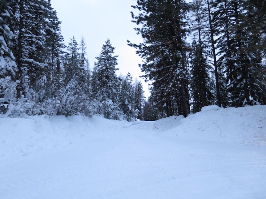
start of the fs 2610 rd; starr ridge snowsports park, tow rope to left


Snow Conditions: 2-5' with increasing elevation.  lt. to moderate sno flurries increasing with elevation to quite strong with 20mph wind on the butte -  visibility 10'. 1/2-1" accumulation at butte, very little accumulation lower.

Skis on & temperature:  9:30am 29° (JD33° );

Skis off & temperature: 3:45pm 33°  (JD 37° )

Distance: 5 miles, maybe; elevation 2700+' definitely

elevation profile
click on image for larger version
you can save the larger version as a .png file to your computer
open and be able to zoom in for more detail.


Rating (1-10; 10 awesome): 9.9 - clear day = 10

Comments: this is one of those ski season high points, literally. haven't done this much elevation before. sno & temp easy. great climb to the treeline then it gets very steep to the top.  from the top down to the treeline ended up being much more difficult, very fast & narrow.  thought the deep snow would help, didn't. also, thick clouds, wind & blowing snow at top decreased visibility to the point of obscuring tracks & hazards. dixie seems to have it's own weather patterns, often quite different from the rest of the john day river valley.

touring skis worked fine to the treeline; backcountry skis would have been more appropriate for the last segment

with the current conditions (deep at the top) unless you are very skilled at downhill, i'd either walk/snow shoe this section or turn around at the treeline. less deep snow might be more manageable.

4.5hrs up; 1.5 hrs. down

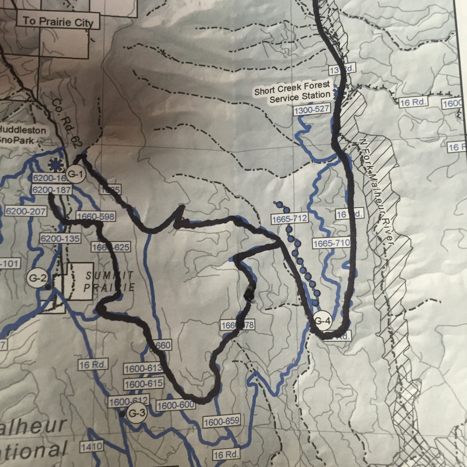
alternatives to this route are a network of trails that start from the east end of the sno park (096? - the rd. markers don't always match with the maps &, as you can see, are not always visible):


on the south side of 26 (maybe not a part of the sno park, no permit needed?) another road going south, popular with snomobiles, fs 132:


Thursday, January 7, 2016

4920 Rd update - Starr ridge 1/7/16

Allen Taylor & Stasha skied the 333 rd into Wndfall creek area this morning. they report that the 4920 rd. is now plowed from starr ridge campground west to the 3920.  See this post from the FS:

here

From the email, sounds like the logging will move down the 4920, 49 to Co 65 (izee).

I'm guessing most, if not all, of the logging will be north of the 4920 as i've been through the area south several times & have seen no damage.

Alternatives to the 4920, maybe one of the most skied roads, are:

Starr ridge sno park west on the 333 see    here:

&

here

also recently groomed roads going east see:

here

&

here


Wednesday, January 6, 2016

Groomed Trails 1/6/16


from Glen Johnston:

01/06/2016: Dave Hannibal reports in from a long day grooming with many blown down trees to deal with.  Thanks for the great work Dave:-) The 16 RD is plowed from Seneca to Summit Prairie, so there are places along the route to gain easy access to today's grooming. G

Tuesday, January 5, 2016

Groomed Trails 1/5/16


from Glen Johnston:

Both groomers were out today.  Orange line for the west side cat and black line for the Huddleston cat.

Monday, January 4, 2016

FS 333 to 4920 Loop - Starr Ridge 1/3/16

click on image for larger version
you can save the larger version as a .png file to your computer
open and be able to zoom in for more detail.


Location: Hwy 395, Canyon City to Starr Ridge Snow Park

Road & Trail Conditions: 395 patchy ice, worse in morning

FS 333 rd looking west from windfall creek meadow


start at FS 333 rd from sno park west to 350 then 352 north to 4920 to starr ridge campground, cross 395 to pick up 987 back to sno park

Snow Conditions: 2+' - no grooming, packed snowmobile tracks with 1+" powder

Skis on & temperature: noon 28° gusty winds on ridges, hardly any in gulleys

Skis off & temperature: 3:30 pm 34° (44° JD)

Distance: 8+ miles

Rating (1-10; 10 awesome): 9

Jan Mead skiing the 333 rd west


Comments: beautiful snow, great temp. skied with Jan Mead, met Peggy Murphy, Glen Johnston & Aria on the 4920.  A little elevation going up the 352.  good views of the burn area north of the 4920.  a longer loop could be made going further west on 333 & up the 4920. could also go west on the 4920 back around to the 333 to return to sno park. other loop variations would be dependent on which roads have been traveled.